Open Source GIS
By admin on Sep 20, 2008 in interesting, open source
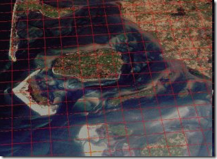
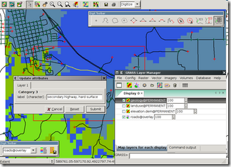
GRASS (Geographic Resources Analysis Support System) is a Geographic Information System (GIS) used for geospatial data management and analysis, image processing, graphics/maps production, spatial modeling, and visualization. GRASS is currently used in academic and commercial settings around the world, as well as by many governmental agencies and environmental consulting companies. GRASS is official project of the Open Source Geospatial Foundation.
The GRASS source code is written in portable ANSI-C and is fully POSIX compliant. It runs on most known flavors of UNIX including Linux, Solaris, and Mac OSX, as well as MS Windows with Cygwin.
Development is well underway on a native MS Windows port, with an experimental version available for download now. GRASS has been run on everything from supercomputers to handheld PDAs. It is well adapted for life on a single-user workstation, a large multi-user system, or application server and thin clients, with mapset-level access control. Cross platform GUI toolkits are used to ensure a consistent user experience regardless of the hardware. The old GUI used Tcl/Tk, the new GUI is using WxPython.


